Tag: River Mole
-
Levelling up? Uneven patterns of recent rainfall highlight characteristic river response and signpost future management strategy in the River Mole catchment.
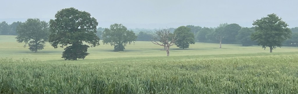
Thunderstorms tracked across the Lower Mole basin in the early hours of 29 June 2023 but they largely missed the Upper Mole. The storms were much heavier over the Lower Mole to the north of the catchment over places like Molesey and Esher. In contrast the Upper Mole catchment to the south of Dorking received…
-
Are the finger prints of Climate Change over the fish die-off in the Upper Mole?

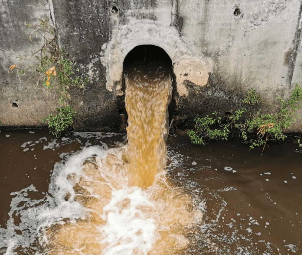
A significant and very saddening fish die-off occurred on Sunday 11 June – Monday 12 June 2023 in the Upper River Mole between Charlwood and Horley along the realigned channel below the confluence of Man’s Brook. This post outlines the nature of the location, details of the event itself and explores some possible causes.
-
Lords Almighty! Causes of storm overflows, solutions to pollution and securing a future sustainable water supply.
What are the causes of river pollution and what recommendations are made by the Lords Report to improve river health and secure water supply for future generations?
-
Making Mole Hills out of Mountains. Part 2: The Mesozoic Trough
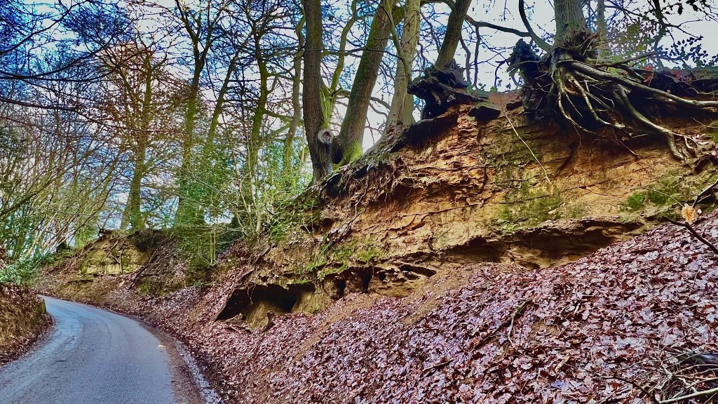
Part 2 of the formation of the River Mole landscape: this post covers the 200 million years of the Mesozoic era in which the rocks comprising the surface of the Weald were laid down.
-
News! Real-Time storm discharge data now available from Thames Water
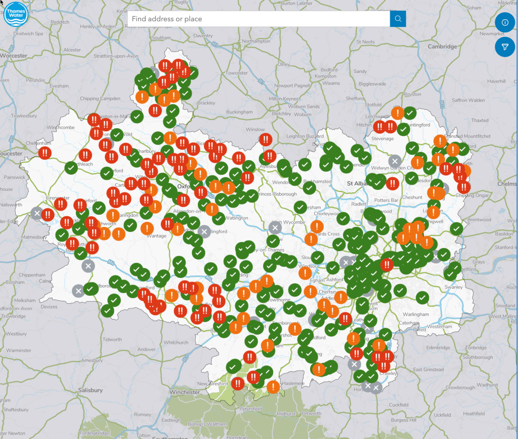
Some significant news on river pollution! Thames Water have today 4/01/2023 released a “live” map showing near real-time data on storm discharges at their sewage treatment plants. This is useful to identify how often and how long storm overflows occur. Thames Water want to be more transparent and open about their storm discharge activity. We…
-
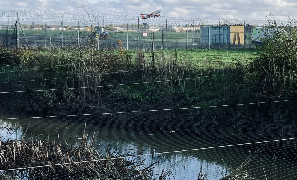
Development threats to runoff in the Upper Mole Basin

Analysis of potential impacts on runoff and river flow of three developments in the Upper Mole basin.
-
Rainfall intensity rules River Mole runoff, to a point.
Bit of a cryptic title but this follows my previous post on how our flashy local river responds to rain. Two recent contrasting rainfall events occurred at the tail end of this wet November and it struck me how the Mole responded quite differently to these. So in this post I have drawn up hydrographs…
-
River Mole: flashy by nature?
The River Mole is a flashy river! This means levels rise quickly after rain falls over the catchment. The hydrograph below shows the River Mole discharge at Gatwick gauging station rising quickly after a heavy squall line passed over the catchment, dropping 11mm in less than 1 hour. This is not outside normal rainfall but…
-
A video following the Mole downstream from source to Thames!
I’ve made a video to celebrate our local river by following it downstream from source to the confluence with the Thames. It highlights the challenges our river faces and picks up some of the key places and features (obviously not all… and slightly skewed to where I know best which is the upper mole). I…
-
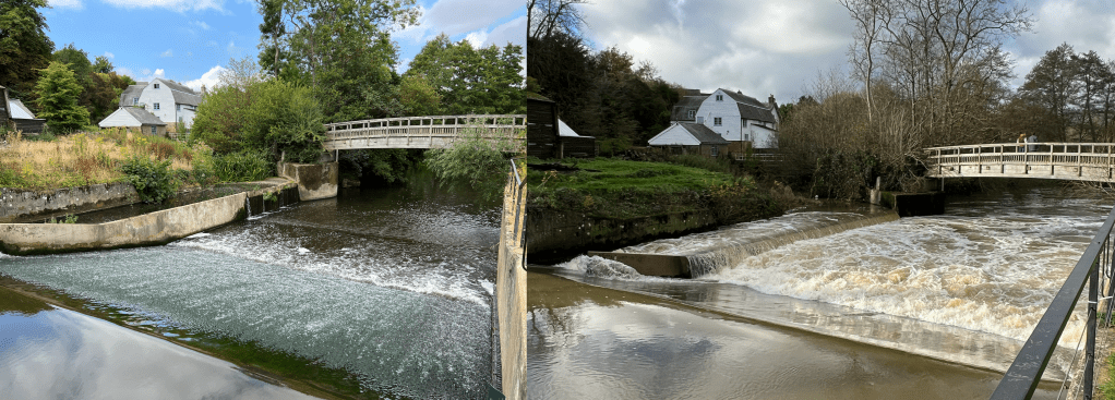
2013 Flooding on the River Mole: causes, impacts and management
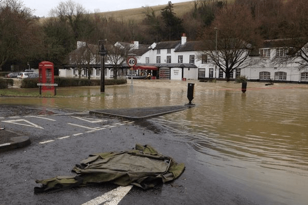
The River Mole is a modest lowland river in SE England that rises near Rusper in the wooded hilly heartland of the Surrey / Sussex Weald, near Crawley and Horsham. The Mole and its tributaries flow broadly north, through Crawley, around and under Gatwick airport, before meandering through mostly rural countryside to Dorking. The Mole…
