Category: lag time
-
Levelling up? Uneven patterns of recent rainfall highlight characteristic river response and signpost future management strategy in the River Mole catchment.
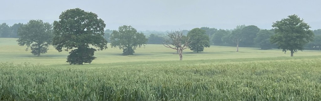
Thunderstorms tracked across the Lower Mole basin in the early hours of 29 June 2023 but they largely missed the Upper Mole. The storms were much heavier over the Lower Mole to the north of the catchment over places like Molesey and Esher. In contrast the Upper Mole catchment to the south of Dorking received…
-
Storms last week show how events in the Upper Mole control discharge through the whole drainage basin
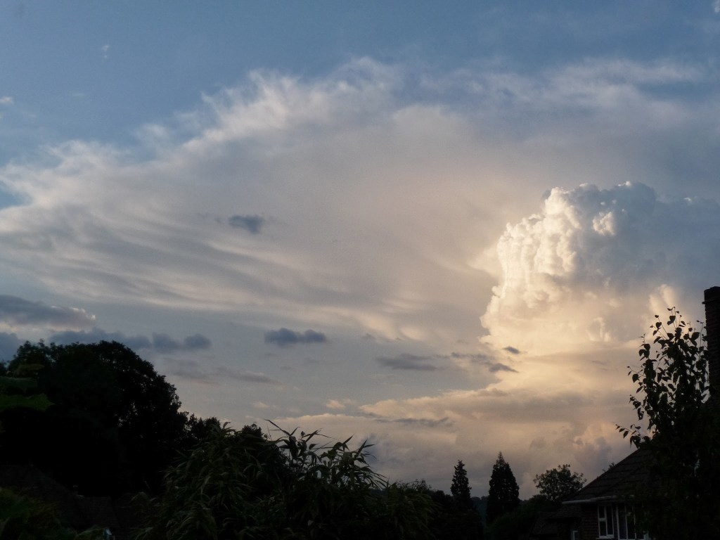
Unsettled weather last week featured a good deal of showery convective storms over different parts of the Mole catchment each day. How these rainfall events contributed to discharge downstream highlights many of the unusual characteristics of the Mole catchment and how it deals with inputs of precipitation. Here’s a diagram to remind us of some…
-
Development threats to runoff in the Upper Mole Basin

Analysis of potential impacts on runoff and river flow of three developments in the Upper Mole basin.
-
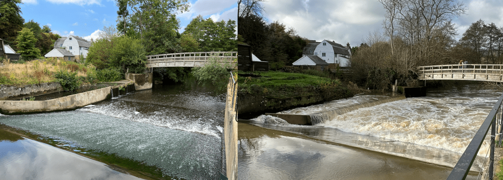
Rainfall intensity rules River Mole runoff, to a point.
Bit of a cryptic title but this follows my previous post on how our flashy local river responds to rain. Two recent contrasting rainfall events occurred at the tail end of this wet November and it struck me how the Mole responded quite differently to these. So in this post I have drawn up hydrographs…
-
River Mole: flashy by nature?
The River Mole is a flashy river! This means levels rise quickly after rain falls over the catchment. The hydrograph below shows the River Mole discharge at Gatwick gauging station rising quickly after a heavy squall line passed over the catchment, dropping 11mm in less than 1 hour. This is not outside normal rainfall but…
