Category: Floods
-
Storms last week show how events in the Upper Mole control discharge through the whole drainage basin
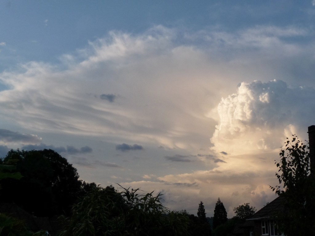
Unsettled weather last week featured a good deal of showery convective storms over different parts of the Mole catchment each day. How these rainfall events contributed to discharge downstream highlights many of the unusual characteristics of the Mole catchment and how it deals with inputs of precipitation. Here’s a diagram to remind us of some…
-
Rainfall intensity rules River Mole runoff, to a point.
Bit of a cryptic title but this follows my previous post on how our flashy local river responds to rain. Two recent contrasting rainfall events occurred at the tail end of this wet November and it struck me how the Mole responded quite differently to these. So in this post I have drawn up hydrographs…
-
The 1968 Mole Flood
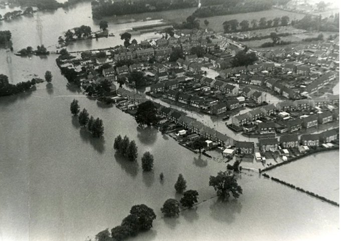
The worst recorded flooding in the River Mole was in 1968 when a rare 1:200 year storm caused rainfall to exceed 100mm in 24 hours and a staggering discharge over 240 cumecs in the Lower Mole (see extract below). For comparison, the average discharge of the River Thames in London is 65 cumecs and the average September…
-
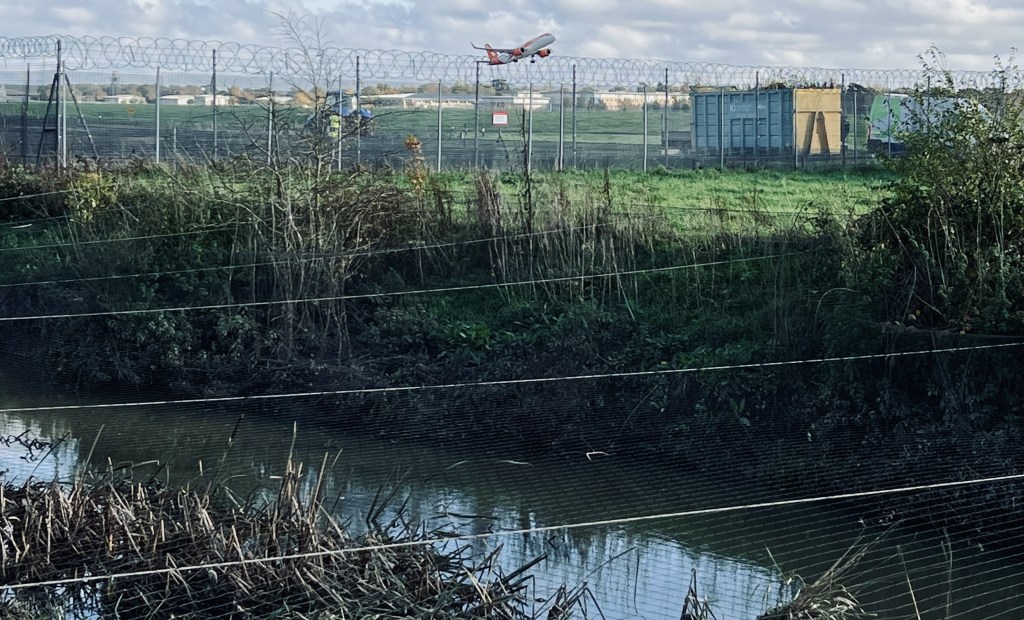
2013 Flooding on the River Mole: causes, impacts and management
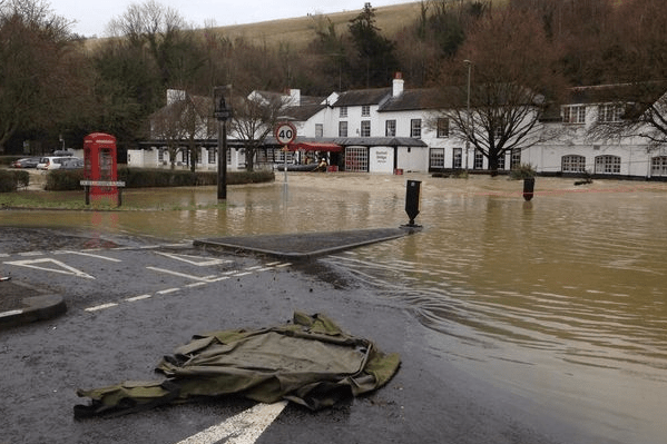
The River Mole is a modest lowland river in SE England that rises near Rusper in the wooded hilly heartland of the Surrey / Sussex Weald, near Crawley and Horsham. The Mole and its tributaries flow broadly north, through Crawley, around and under Gatwick airport, before meandering through mostly rural countryside to Dorking. The Mole…
